
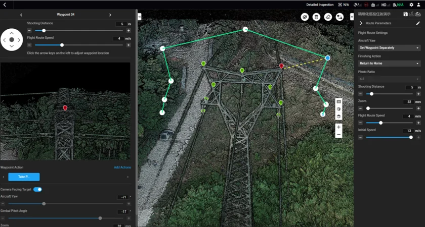
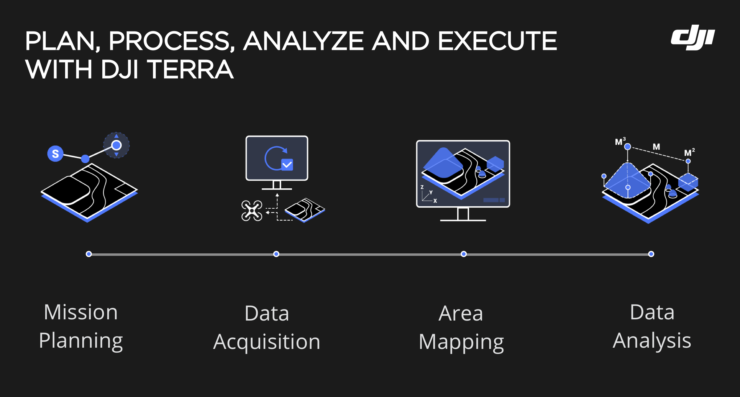
DJI Terra Standard – Offline is a professional desktop-based drone mapping solution designed for users who need to process data locally without relying on the cloud. This version allows users to create accurate 2D maps and basic 3D reconstructions using data captured by DJI Enterprise drones.
All processing is performed entirely offline, making this edition ideal for organizations with strict data security requirements, limited internet access, or regulatory constraints. DJI Terra Standard Offline supports efficient photogrammetry workflows for surveying, construction monitoring, site planning, and infrastructure inspections.
Depending on the selected version, the software is available as a perpetual license or a 1-year subscription. This allows users to scale functionality as project complexity increases. The offline architecture ensures full ownership and control over collected data, with stable performance on local workstations.
DJI Terra Standard Offline is best suited for professionals who need reliable mapping capabilities while maintaining complete data sovereignty.