
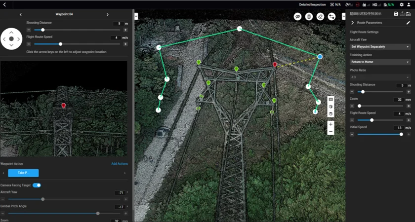
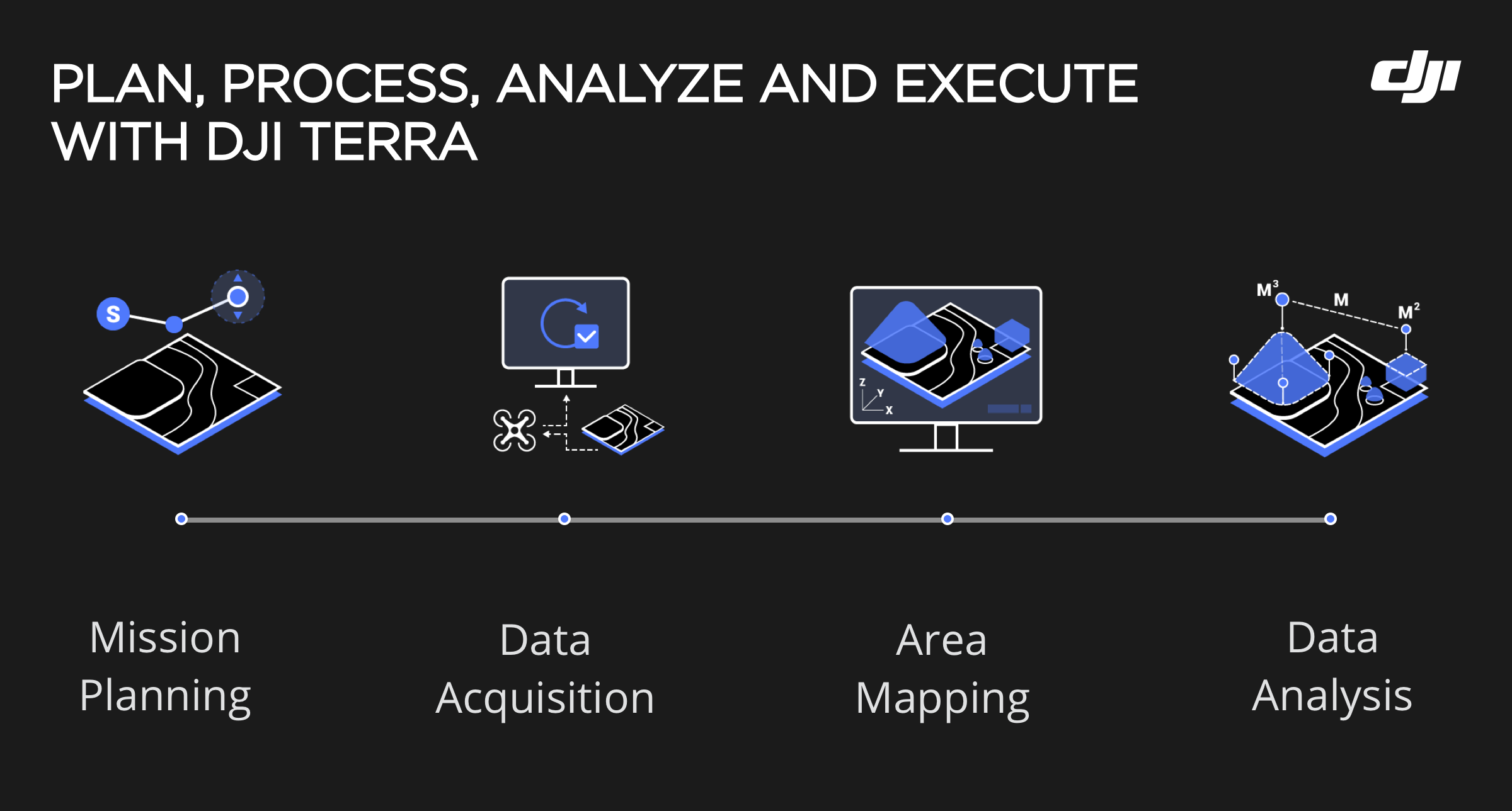
DJI Terra Standard – Online offers professional drone mapping capabilities combined with the flexibility of online activation and license management. This version supports accurate 2D mapping and standard 3D reconstruction, making it suitable for surveying, construction, and inspection workflows.
While processing continues to be performed locally, the online licensing structure facilitates easier deployment, activation, and scalability across teams. Users benefit from DJI Terra’s optimized photogrammetry algorithms while maintaining operational efficiency.
Available options include perpetual licenses, 1-year subscriptions, and flagship upgrades, allowing users to adapt the software to changing operational needs.
DJI Terra Standard Online is ideal for organizations that want professional mapping performance with simplified license management.